Past locks and forts
- Distance
- 42.0 km
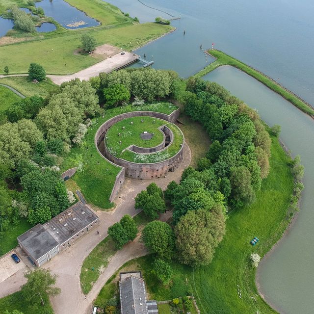
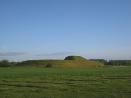
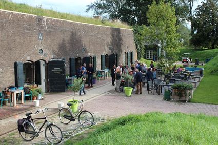
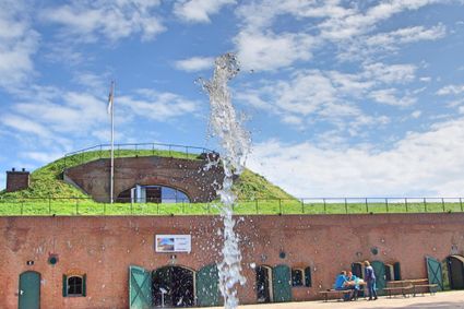
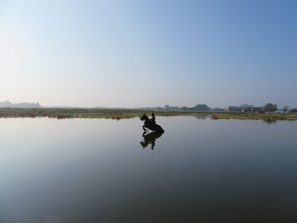
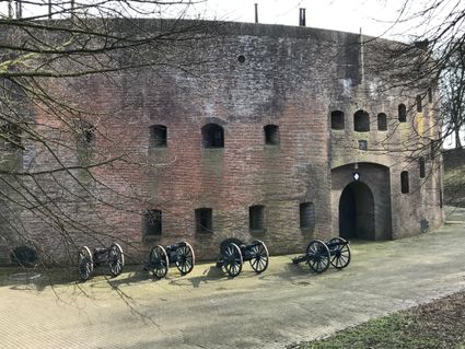
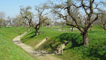
Everywhere are forts, trenches, dykes, sluices, canals, casemates and group shelters to surprise you. Together these elements form an ingenious system that protected the Netherlands from hostile troops. Inundating the countryside with fifty centimetres of water made it impassable for soldiers, while still too shallow to use boats. Care to cycle through this utterly Dutch defence system from the 19th and 20th century?
Sights on this route
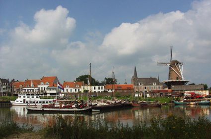
Starting point: TOP Stadshaven Wijk bij Duurstede
Havenweg 1
3961 MA Wijk bij Duurstede
Havenweg 1
3961 MA Wijk bij Duurstede
1
TOP City harbour Wijk bij Duurstede
Bij stadspoort naar de havenHavenweg
3961 AW Wijk bij Duurstede
15
14
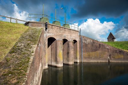
2
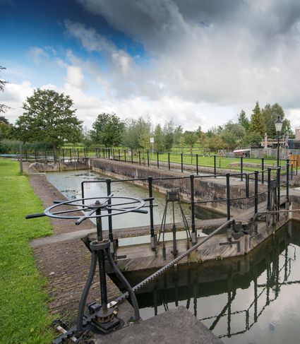
Inundation lock at Wijk bij Duurstede
Singel 513961CH Wijk bij Duurstede
13
3
TOP Kersenpracht Cothen
Restaurant De Jonge GraafGraaf van Lynden van Sandenburgweg 2
3945 PB Cothen

4
Kersenmuseum (cherry museum)
Landwinkel de KersenhutGroenewoudseweg 18
3945 BC Cothen
5
56
57
58
63
66
64
14
6
7
8
9
10
18
51
11
3998NJ Honswijk

12
52
54
53
55
14
15
End point: TOP Stadshaven Wijk bij Duurstede
Havenweg 1
3961 MA Wijk bij Duurstede
Havenweg 1
3961 MA Wijk bij Duurstede
- 15
- 14
- 13
- 56
- 57
- 58
- 63
- 66
- 64
- 14
- 18
- 51
- 52
- 54
- 53
- 55
- 14
- 15